If you are reading this blog post, it is because you are interested in living a remarkable adventure, a daring trip to Torres del Paine to hike one of the most famous hiking circuits in the world. Together with the W, the O Circuit attracts hundreds of travelers from different corners of the planet, and you can be one of them.
What is the difference between the W and the O circuits? Both routes get their names from the trail’s layout. The O is a route that runs the entire perimeter of The Park, where its final and initial point is the same. It is the longest route in Torres del Paine National Park. Due to its longer distance, the trail feels more intimate with nature because it has fewer hikers than the W. There will be various moments when you will be alone on this extensive route (93.2 km), which takes between 7 or 8 days.
The “O” circuit includes the “W,” the first in an extension of the second, so you will see the most iconic landscapes of the Torres del Paine National Park while hiking on it. Also, if altitude concerns you, you will be at most 1,200 meters above sea level during the expedition.
Now, what will you see on the Circuit O hike?
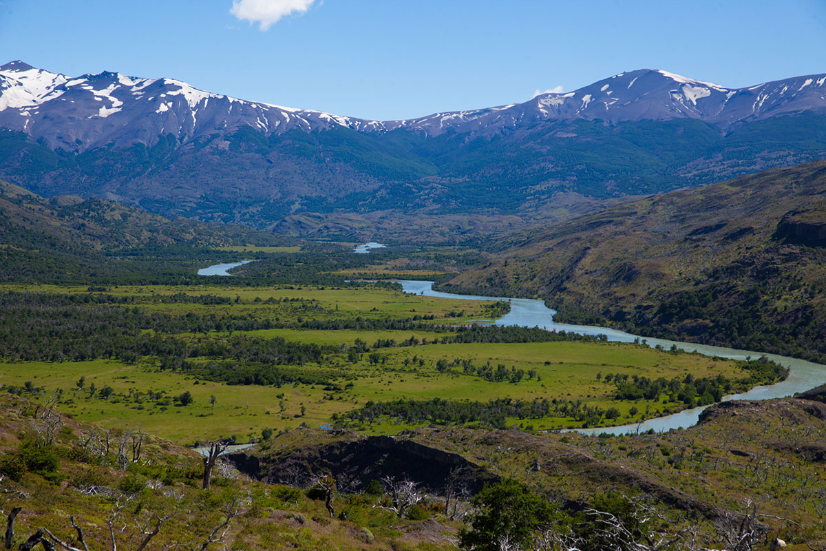
Serón
In Serón, you’ll see a field full of daisies that horses use like an esplanade, a serene place where they spend winter. In this area, you will be able to see the eastern part of the Paine Massif, and in the distance, with clear skies, you will see the Andes Mountains. Serón is one of the quietest places on the circuit. It’s your ideal checkpoint before continuing with your adventure.
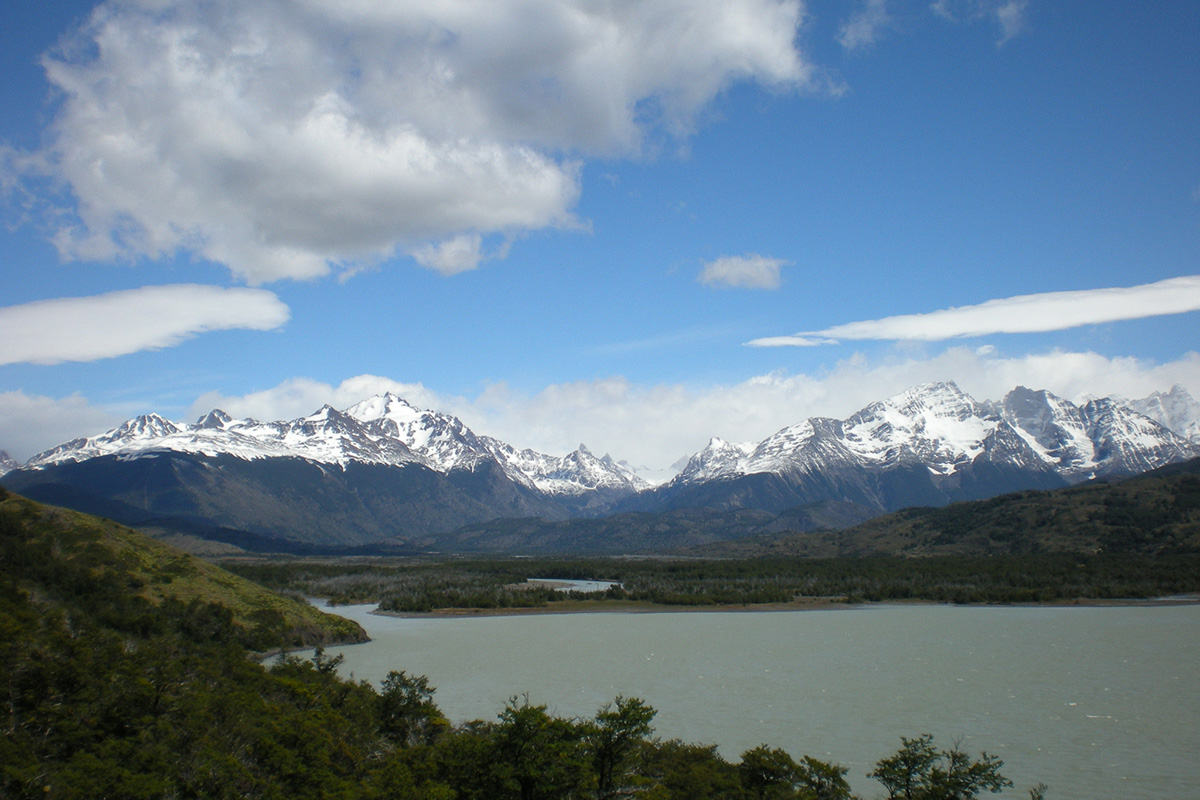
Lake Paine
After leaving Serón, you will see Lake Paine, one of the largest lakes in Torres del Paine National Park park. Here, you will find La Guardería Coirón, and you must have your reservation ready to continue your hike.
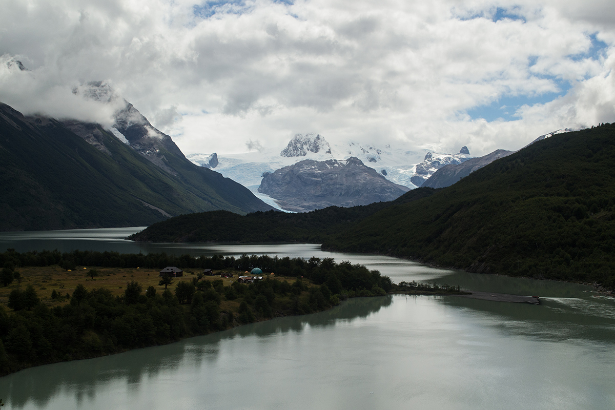
Dickson Glacier
At Dickson Glacier, you will have an incomparable view, where mountains, ice, and forests come together in a single panorama. This glacier originates in the Southern Ice Fields. During the last few decades, Dickson Glacier has experienced significant melt, causing an expansion of the Dickson Lake that borders this majestic place.
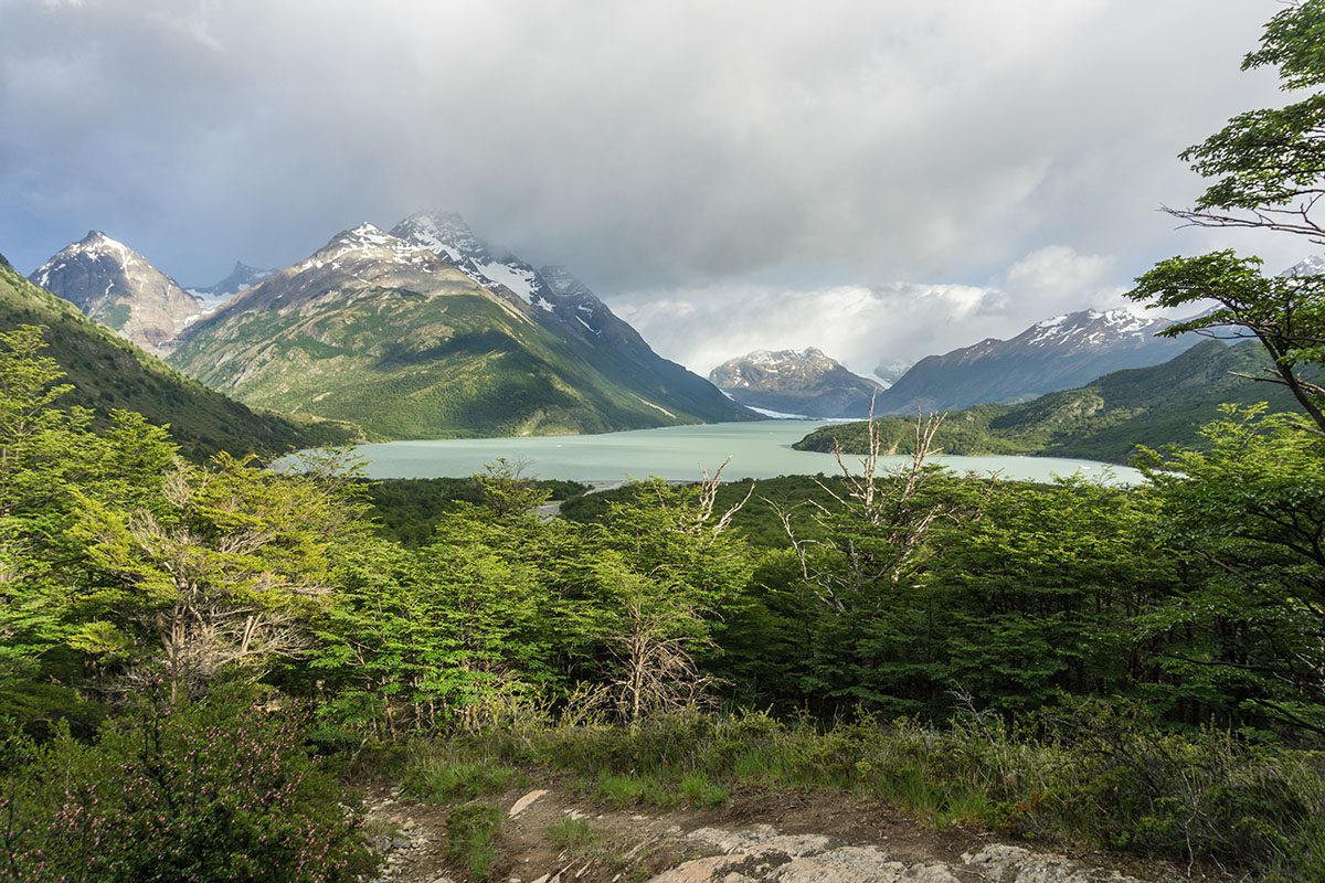
Dickson Lake
After a challenging climb, you will see a lake that rises from the South Ice Fields and empties into the Paine River. This extraordinary place results from the meeting of the Dickson, Cubo, and Frías glaciers. In 1998, the drawdown of Dickson led to an expansion of the lake, which now spans 17 km (10.5 mi) long and crosses the border of Chile and Argentina.
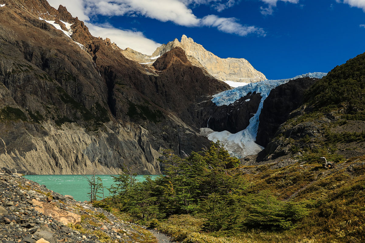
Los Perros Glacier
This hanging glacier comes from the Olguín mountain range and not from Campos de Hielo Sur, which explains its name of Olguín Glacier on the south side. This glacier has experienced the most significant melt in the last 20 years.
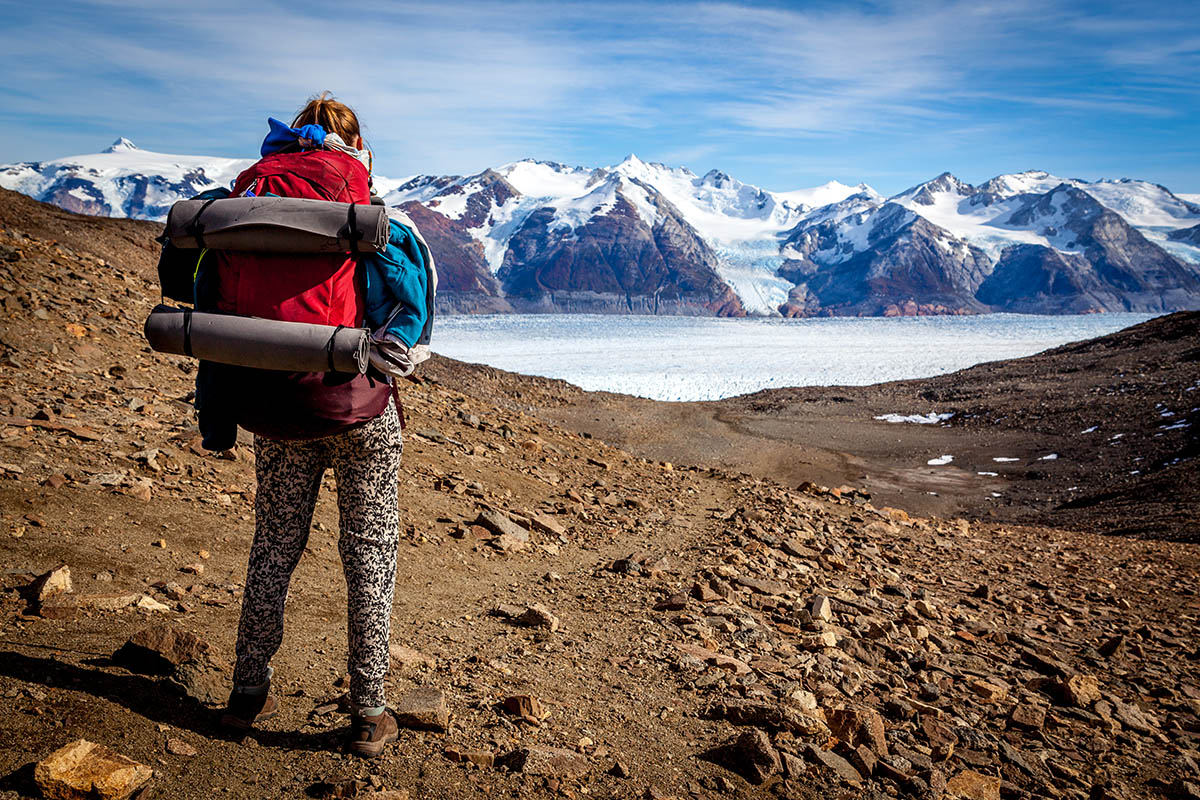
John Gardner Step
To end your adventure, you will see one of the most memorable and spectacular views of the Torres del Paine National Park. The John Garner Pass is at 1,200 m (3,900 ft) elevation and is one of the highest trekking points in Torres del Paine. The pass overlooks the immensity of the Gray Glacier. If you are lucky, you will also see Campos de Hielo Sur.
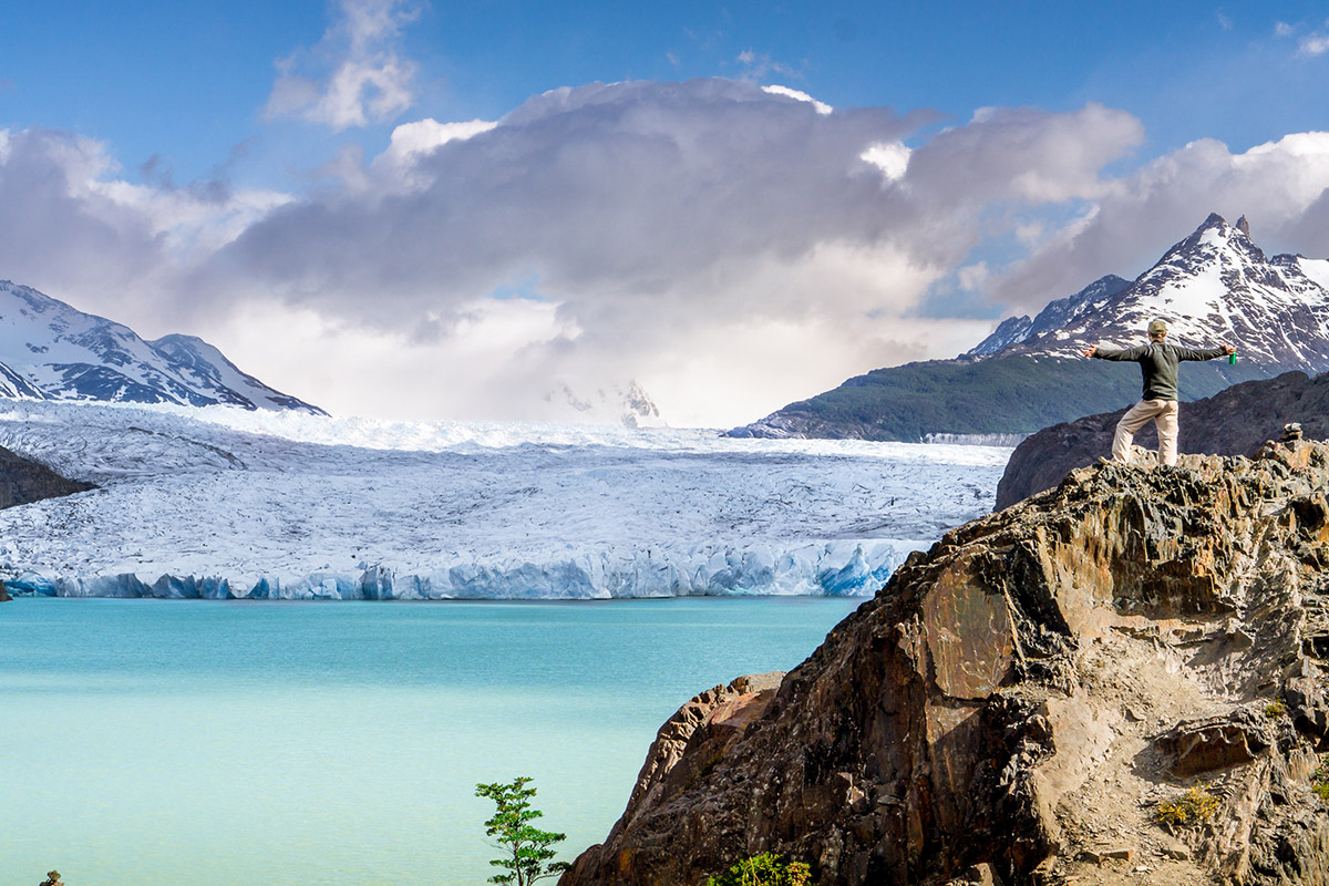
Gray Glacier
The famous Gray Glacier is the largest in the Torres del Paine National Park. The ice here stretches six kilometers wide, 30 meters into the sky, and runs for 19 kilometers until it disappears from your eyes. There are three bridges here that people stop for a photo op, making it one of the most remembered areas by our visitors. Taking a picture here is a moment you’ll treasure forever. You can take a boat ride, kayak tour, or ice hiking excursion to see this impressive ice formation.
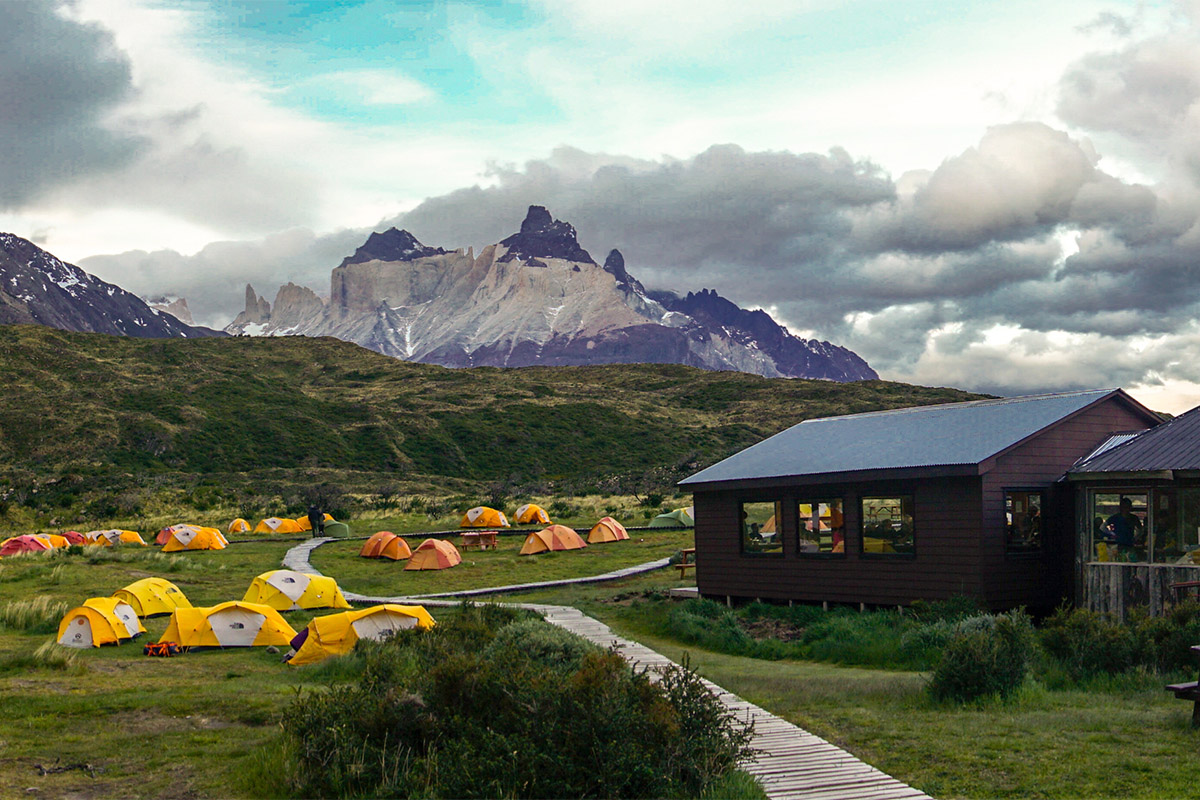
Paine Grande
This sector has one of the most splendid views of the park. Here, you can witness the western sector of Cerro Paine Grande. The mountain peak you can see from here is Punta Bariloche. You will also be able to make out Lake Pehoé with its turquoise color, and if the weather conditions are favorable, you will see the horns of the Paine.
Hiking in Paine Grande, you will find many Chilean Firebushes or Notros with their red flowers. Nearer to the lake, you can see pairs of Caiquenes and Hualas, which are local waterfowl. Walking through the grass, you can find the Calafate bush with its famous berry we use in some of our dishes and specialty cocktails.
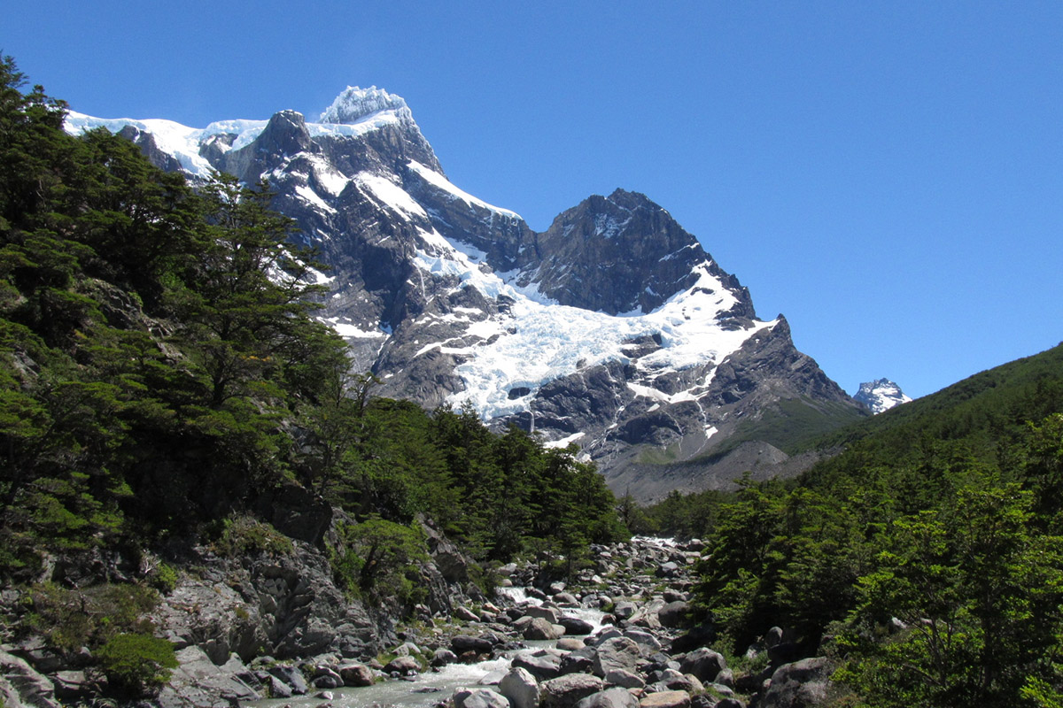
French Valley
Here, you will climb a steep path and emerge into a valley that will take you to a native Lenga forest. When you leave the woods, you will find a new landscape: a stunning view of the multicolored Los Cuernos and the French Glacier that hangs from Paine Grande Hill. This glacier will make you feel like you’re listening to a living ice giant as you can hear how the ice cracks before you.
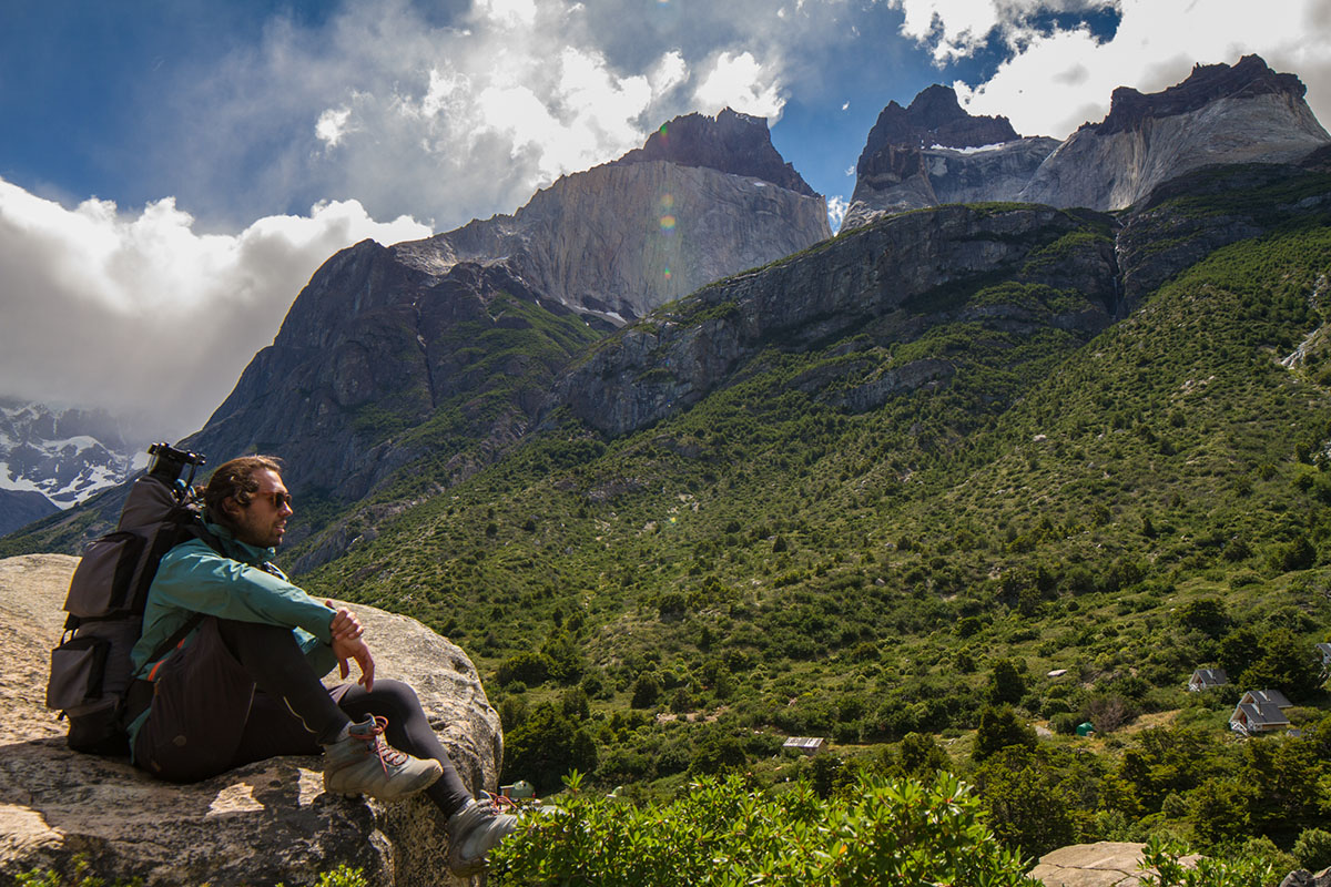
Los Cuernos (The Horns)
When it comes to natural beauty, these three mountains share the admiration of thousands of hikers who have toured the park. Standing at 2,600, 2,400, and 2,200 meters high, each with different rock compositions, make this view worth contemplating for several minutes. A 700-meter-high granite massif crosses the formation, giving this natural beauty a framework.
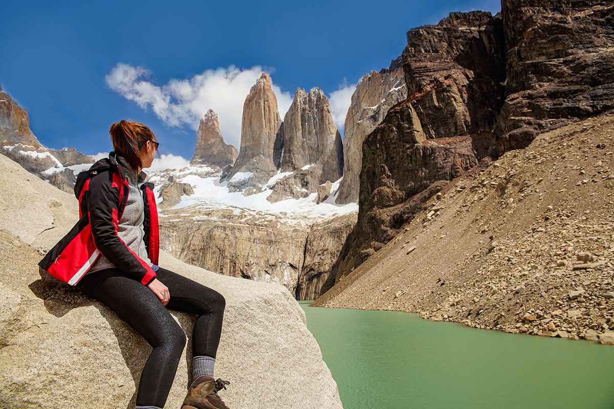
Las Torres (The Towers)
Finally, if you have yet to see them, you will be face to face with why the park is called Torres del Paine. The three granite giants rise imposingly over Patagonia and have amazed thousands of travelers for decades. This site is a photo op you will proudly show all your friends upon your return home.
Take your time here in Torres del Paine and celebrate the incredible milestone you have achieved with this moment.